Does your campground website need an interactive park map?
Every campground has a map. Most websites post it as a PDF and move on. This is how to decide whether an interactive map earns its place on your site, what it has to do if it does, and what it should never pretend to do. Written from the 51-site map I built for Lakeside Oasis RV Park.
Or call (502) 387-1142Or text (502) 387-1142About seven minutes
Owners of RV parks, campgrounds, marinas and seasonal resorts
Shaun Wilson
September 20, 2026

Three questions a map is asked, in order.
Where will I be? Where is everything else? Can I keep this for the drive? A guest who has never visited wants to picture their site relative to the entrance, the pet area, the trail and the water. A returning guest wants to find site 540 and ask for it again. Both want the map in the truck when the signal drops.
A PDF answers the third question and half of the first. An interactive map answers all three, and adds a fourth the PDF cannot: what do I do next?
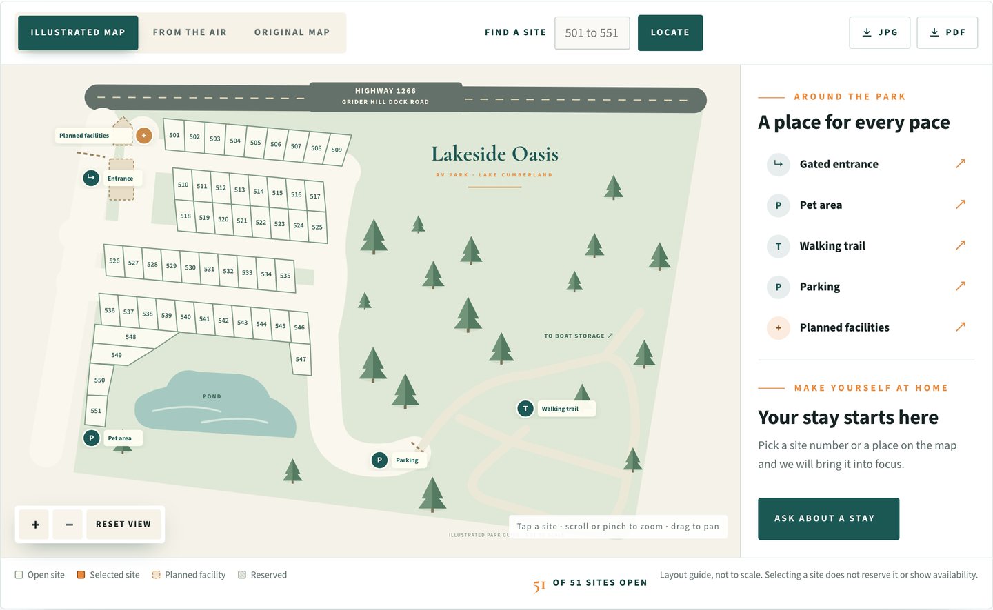
The examples below come from the Lakeside Oasis RV Park website, where the park’s reference drawing became a map with 51 selectable sites.
What an interactive park map has to do.
If your map cannot do these six things, a good PDF is the honest choice.
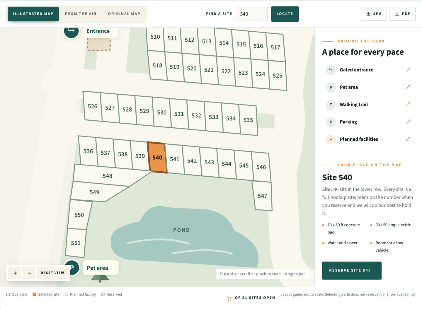
Make every site selectable, by tap and by number
A guest should be able to tap site 540 or type 540 and press Locate. Selection highlights the site, brings it into view and shows what that site is. Keyboard selection matters too.
Offer the real views, not just the drawing
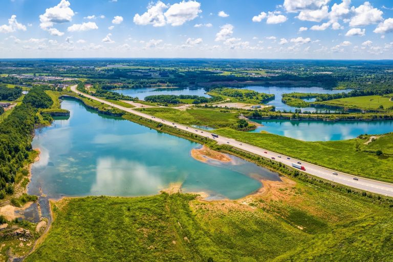
The illustrated map, the aerial photograph and the original reference drawing, one tap apart. People trust the photograph; they navigate by the illustration.
Bring amenities into focus
Entrance, pet area, parking, trail, bathhouse. A control for each that pans and highlights. Draw planned facilities as planned, with a label, so the map never claims a building that is not open.
Carry the site into the inquiry
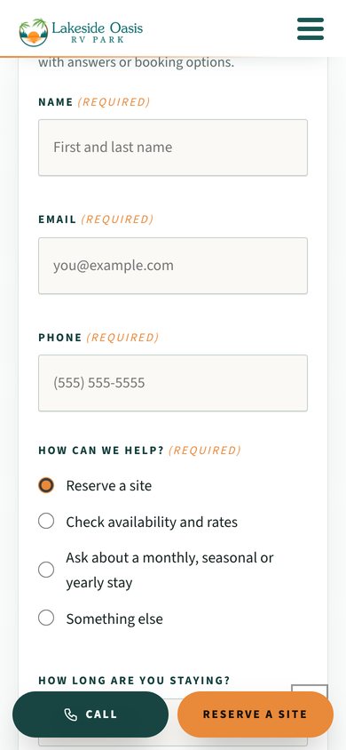
The selected site number should travel with the guest to the reservation form. That one detail turns exploring into asking.
Tell the truth about availability
Show only what the office has marked as reserved, say the map does not show live availability, and never imply that selecting a site books it.
Keep the PDF
Offer JPG and PDF downloads from the interactive map. The drive to the lake still has dead zones.
A map should help a guest ask for a site. It should not pretend to give them one.
Selection is not a reservation. The office confirms the stay. Say so on the map.
Small park, simple layout, phone bookings: keep it simple.
If you have a dozen sites in a row, guests book by phone and nobody asks for a specific spot, a clean PDF and a photograph of the park do the job. Spend the money on photography instead.
An interactive map earns its place when the layout is large enough to get lost in, when guests ask for specific sites, when seasonal guests care where they sit relative to the trail or the entrance, and when you want the website to start the reservation conversation with the right information already in it.
One setting, kept current by the office.
On the Lakeside Oasis map, reserved sites are a short list the office maintains. Mark a site reserved and it greys out on the map with a legend entry. Overnight sites are a small group the office designates; the rest are seasonal and yearly.
That is the whole maintenance burden. No sync with a booking system, no calendar to keep, nothing that goes stale in a way a guest would be misled by. The map says what it shows and what it does not.
Pinch, drag, tap, and still readable.
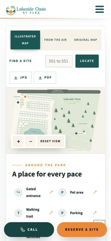
Most guests will open the map on a phone in the truck or at the marina. The map has to zoom by pinch, pan by drag, select by tap, reset in one press, and keep the site numbers legible at the default zoom. The side panel with the site details moves below the map on a narrow screen, and the download buttons stay reachable.
51
selectable sites on the Lakeside Oasis map
3
views: illustrated, aerial and original
3
widths checked: 1440, 834 and 390 pixels
0
promises the office did not make
Before you add a map to your site.
Does it show live availability?
Only what the office marks. The map is honest about that in its own legend. Live availability requires a booking system that owns the calendar, and that is a different project with different costs.
Can guests book from the map?
They can ask. Selecting a site carries the number into the reservation inquiry; the office confirms. If you want true online booking, that decision comes first and the map plugs into it.
What do you need from me?
Your existing park map or site plan, an aerial photograph if you have one, the site numbers, which sites are overnight versus seasonal, and the amenities you want called out. I redraw the rest.
Can it go on my existing website?
Usually. The Lakeside Oasis map lives on a normal WordPress page and does not depend on the theme. If your site is not WordPress I talk about it first.
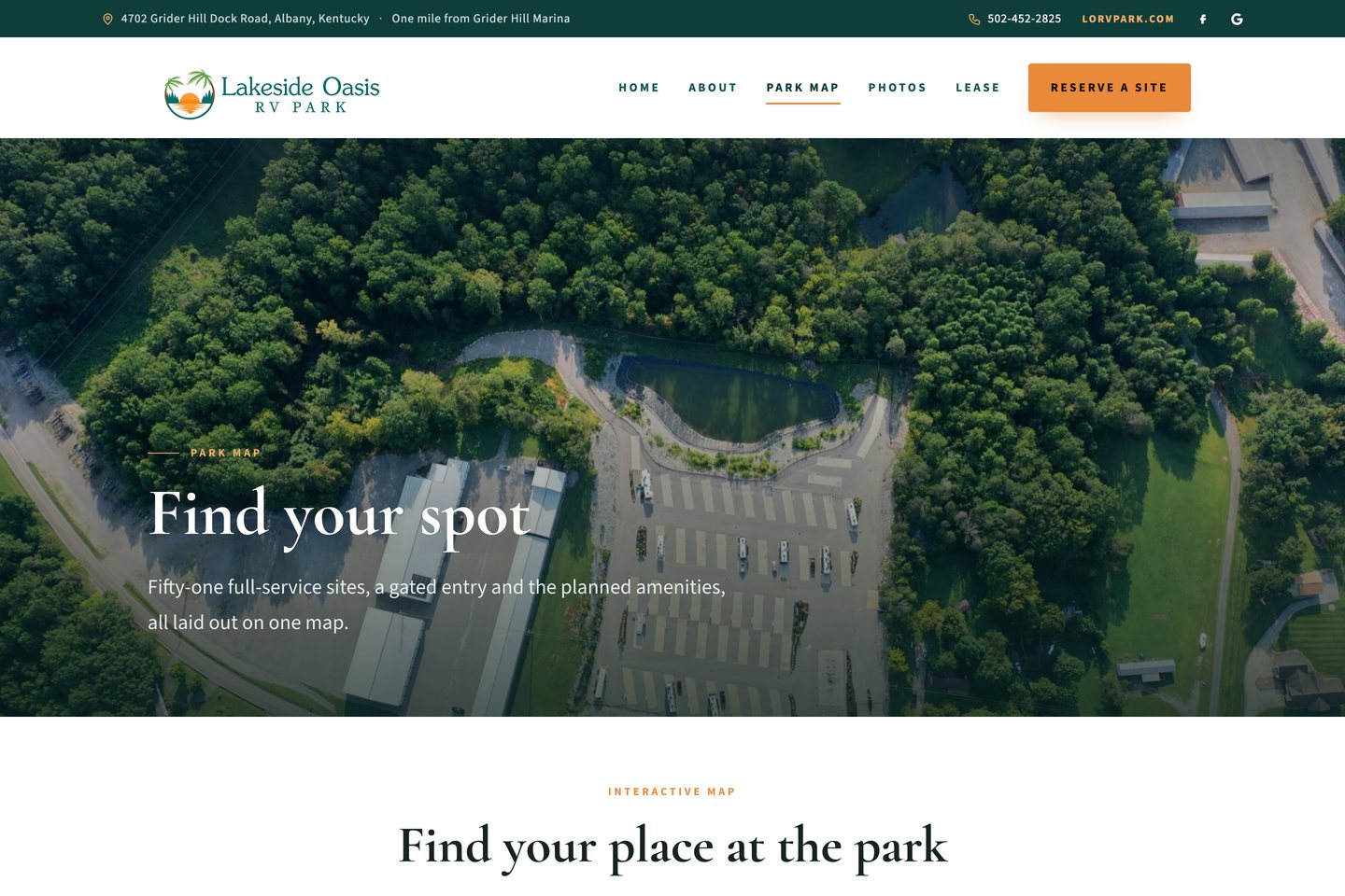

Three views of the same 51 sites.
Read the full Lakeside Oasis case study for the rest of the redesign, or see how I approach campground and RV park website design in general.


Tell me how guests ask for a site today.
One conversation, one builder, a map that helps people ask for the right spot. The person you brief is the person who draws it.