
The view your project deserves.
Drone and helicopter photography, video, mapping, and inspections across Kentucky and Southern Indiana, flown by an FAA-licensed pilot with more than 20 years behind the lens.
Or call (502) 387-1142Or text (502) 387-1142One pilot. Every mission.
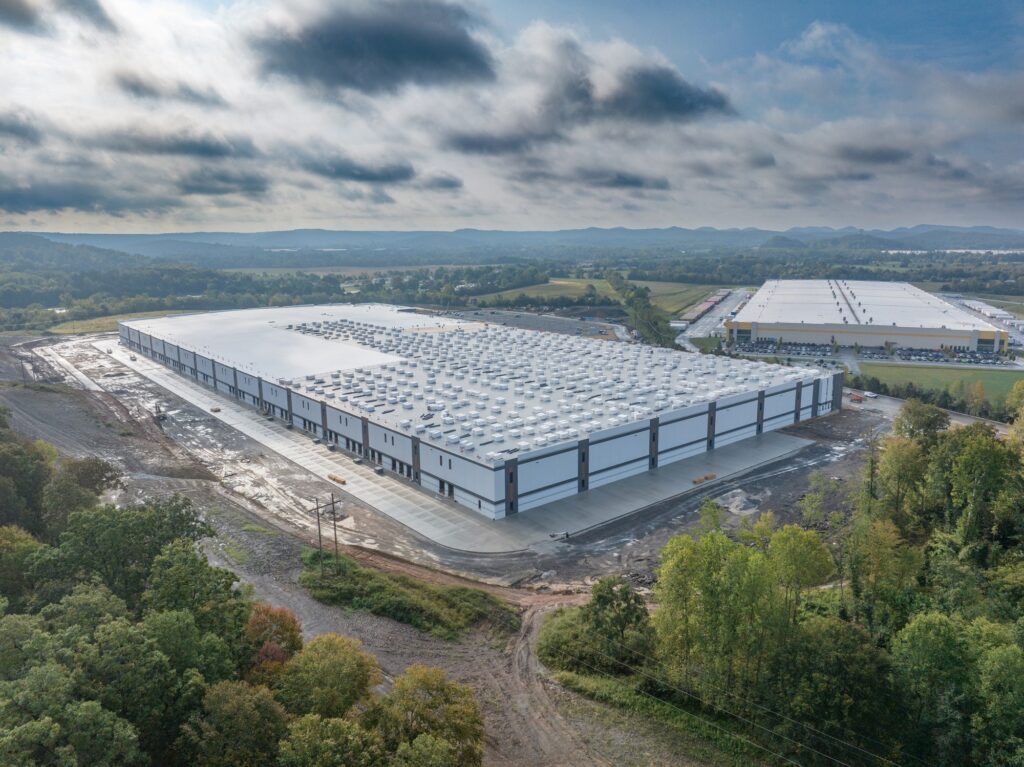
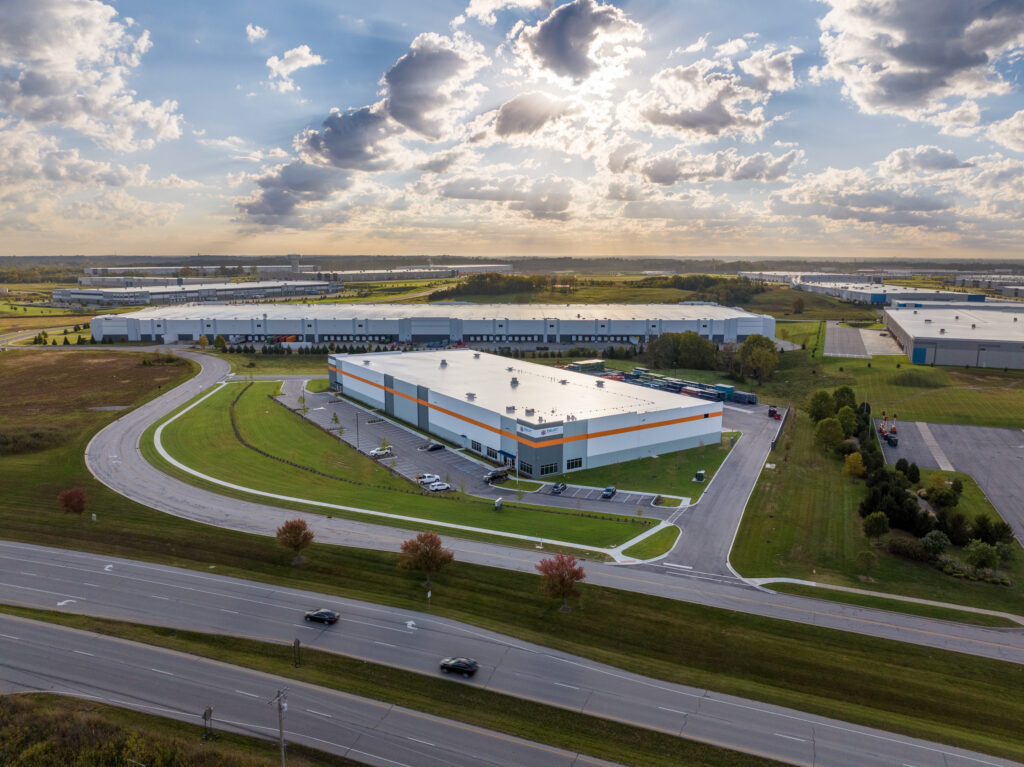
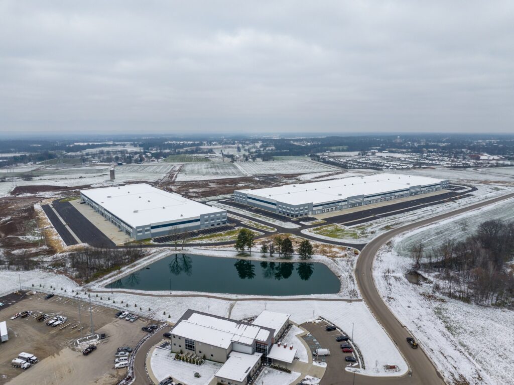
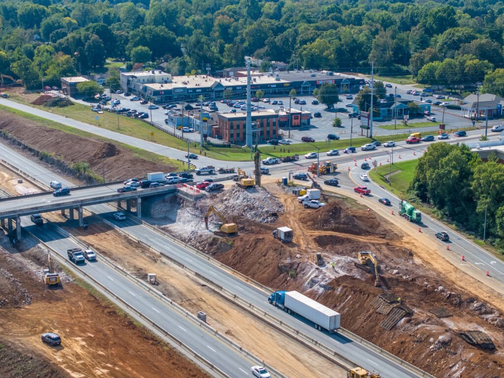
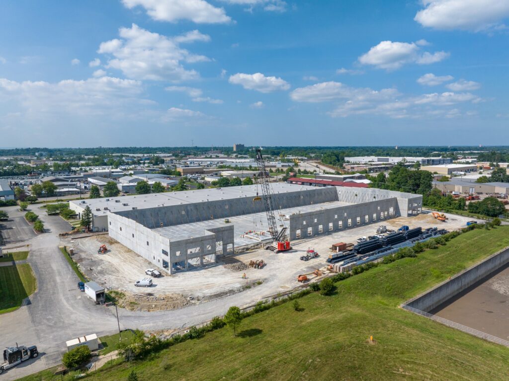
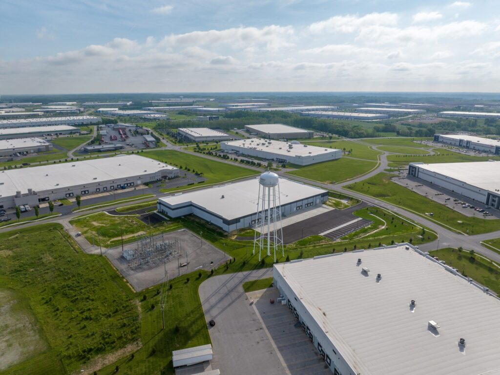
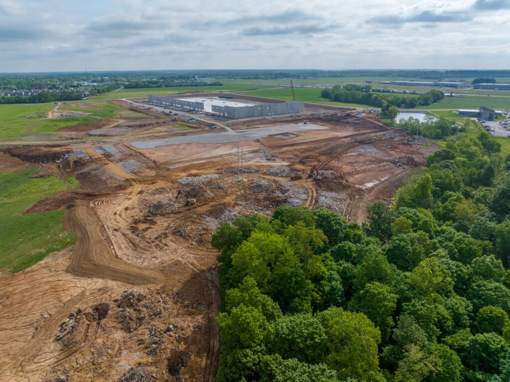
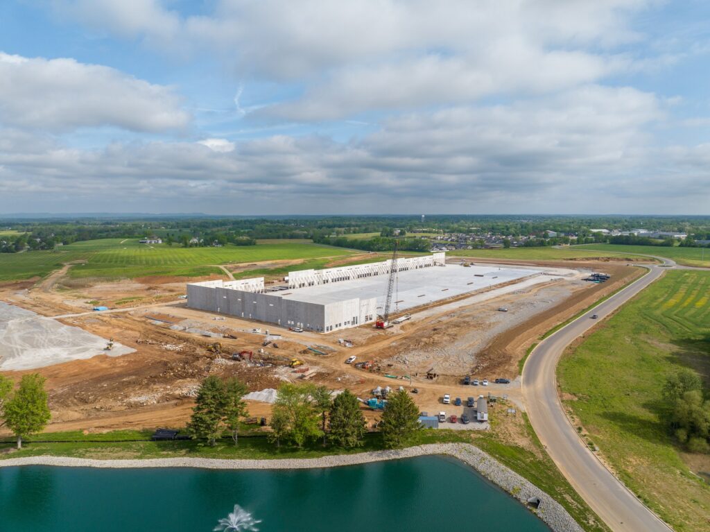
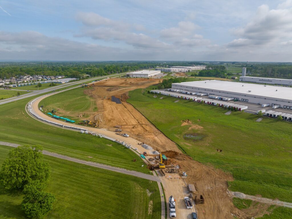
Construction Progress Photography
Monthly aerial documentation that keeps owners, lenders, and stakeholders looking at real progress.
Construction Progress Video
Branded, date-stamped video updates and a final highlight reel of the whole build.
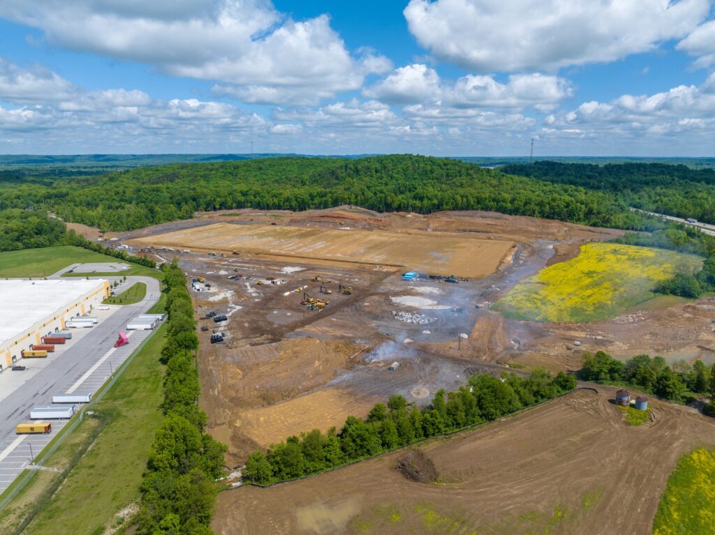
Aerial Mapping and Photogrammetry
Orthomosaic maps, 3D models, and site data for construction, engineering, and land development.
Drone Real Estate Photography
Listings, farms, and waterfront estates captured with the setting buyers fall in love with.
Drone Inspections
Roofs, towers, and power lines inspected in high resolution with no ladders and no risk.
Helicopter Aerial Photography
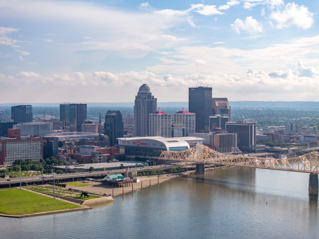
True high-altitude imagery for skylines, corridors, and shoots beyond drone limits.
Aerial and Drone Video
Cinematic 4K aerial video for real estate, construction, events, and brands, with ProRes available.
Commercial and Industrial Photography
Facilities photographed inside, outside, and above: one visit, one complete image library.
High-End Real Estate Photography
Ground and interior photography that makes listings look like a million dollars.
A photographer first. A pilot always.
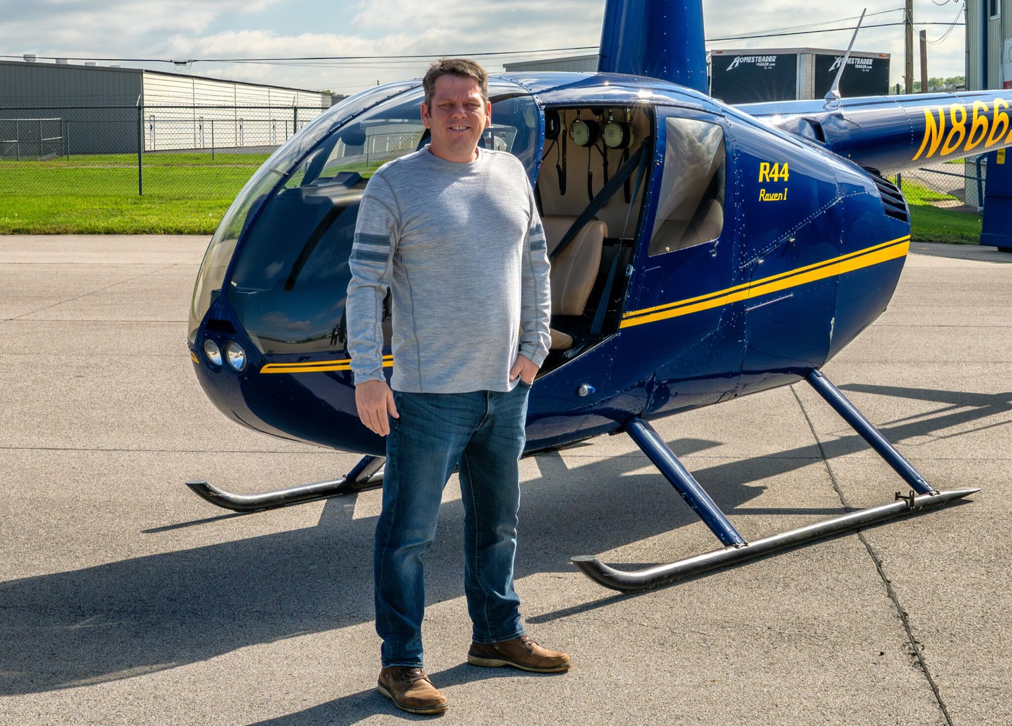
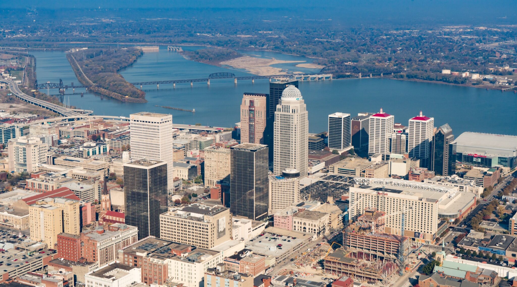
Shaun Wilson has photographed Kentucky from the air for more than two decades, from monthly construction progress for the region’s builders to helicopter shoots over downtown Louisville. FAA Part 107 licensed, fully insured, and behind every single flight and frame I deliver.
From first call to final frames
Tell me the mission
Construction, listing, inspection, or something new. I scope it in one conversation.
I plan the flight
Airspace, weather, light, and shot list handled before launch day.
I fly and shoot
Drone or helicopter, stills or video, captured with a photographer’s eye.
You get the goods
Fast delivery of organized, full-resolution imagery ready to use everywhere.
Before you book
Are you licensed and insured?
Yes. FAA Part 107 licensed with full insurance coverage, and airspace authorizations are handled for controlled areas around Louisville.
What does aerial photography cost?
It depends on the mission, so I quote straight and fast. Tell me what you need and you will have a number, not a runaround.
Where do you fly?
Louisville, Lexington, and the rest of Kentucky and Southern Indiana are home turf, and I travel for larger projects.
Drone or helicopter?
I fly both. Drones handle most missions; helicopters take over when altitude, range, or restricted airspace demand it. You get one team either way.
FROM THE FIELD
Recent aerial projects.
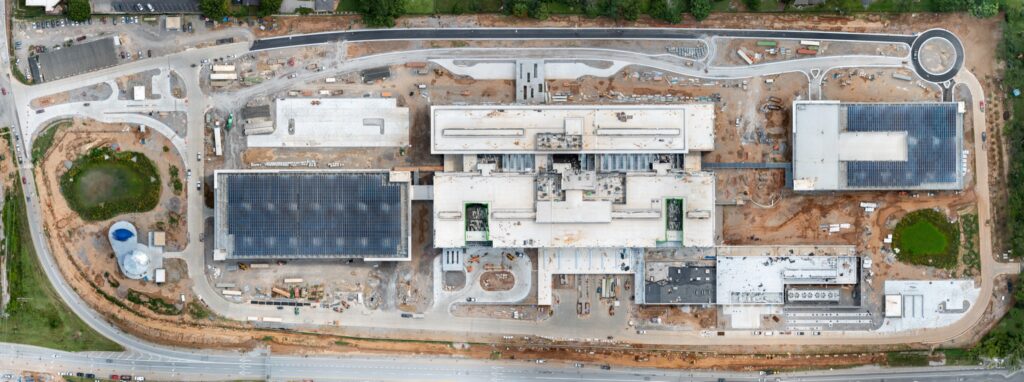
Mapping the New Louisville VA Medical Center: Two Years of Drone Orthomosaics
Monthly drone orthomosaic maps of the 40-acre Louisville VA Medical Center site, flown for Walsh Construction…Progress Video or Progress Photos? How to Choose for a Kentucky Build
Photos are for working, video is for telling. A practical guide to choosing between construction progress…Inside and Out: A Complete Visual Package for a Jeffersonville Commercial Build
A Jeffersonville, Indiana commercial building shot from the air, the ground, and inside in a single…
Let’s put your project in the air.
Tell me what you need photographed, filmed, mapped, or inspected, and I will make it simple.
Connect With Me