
When the shot needs more altitude.
High-altitude helicopter photography for the perspectives drones legally and physically cannot reach: whole skylines, wide corridors, and multiple sites in one flight.
Or call (502) 387-1142Or text (502) 387-1142Above and beyond what drones can do
True high altitude
Helicopters fly far above drone ceilings, capturing whole districts, campuses, and skylines in a single frame.
Restricted airspace access
Areas where drones are limited, near airports and over dense urban centers, are reachable with a helicopter and proper coordination.
Multiple sites, one flight
Photograph an entire portfolio of properties or a full project corridor in a single session.
Pro camera payloads
Full-size stabilized camera systems and long lenses that no consumer drone can lift.
Speed and range
Cover regional campaigns and time-sensitive shoots that would take a drone team days.
City-scale imagery
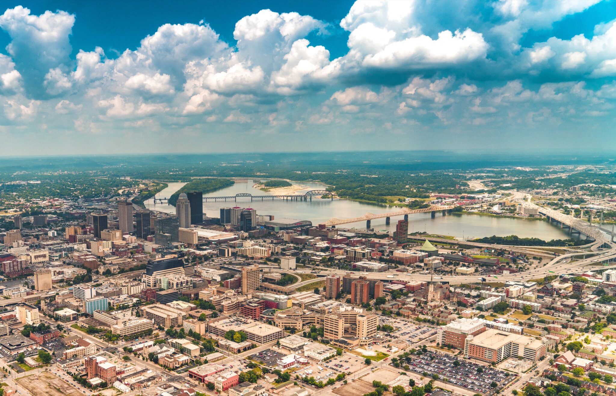
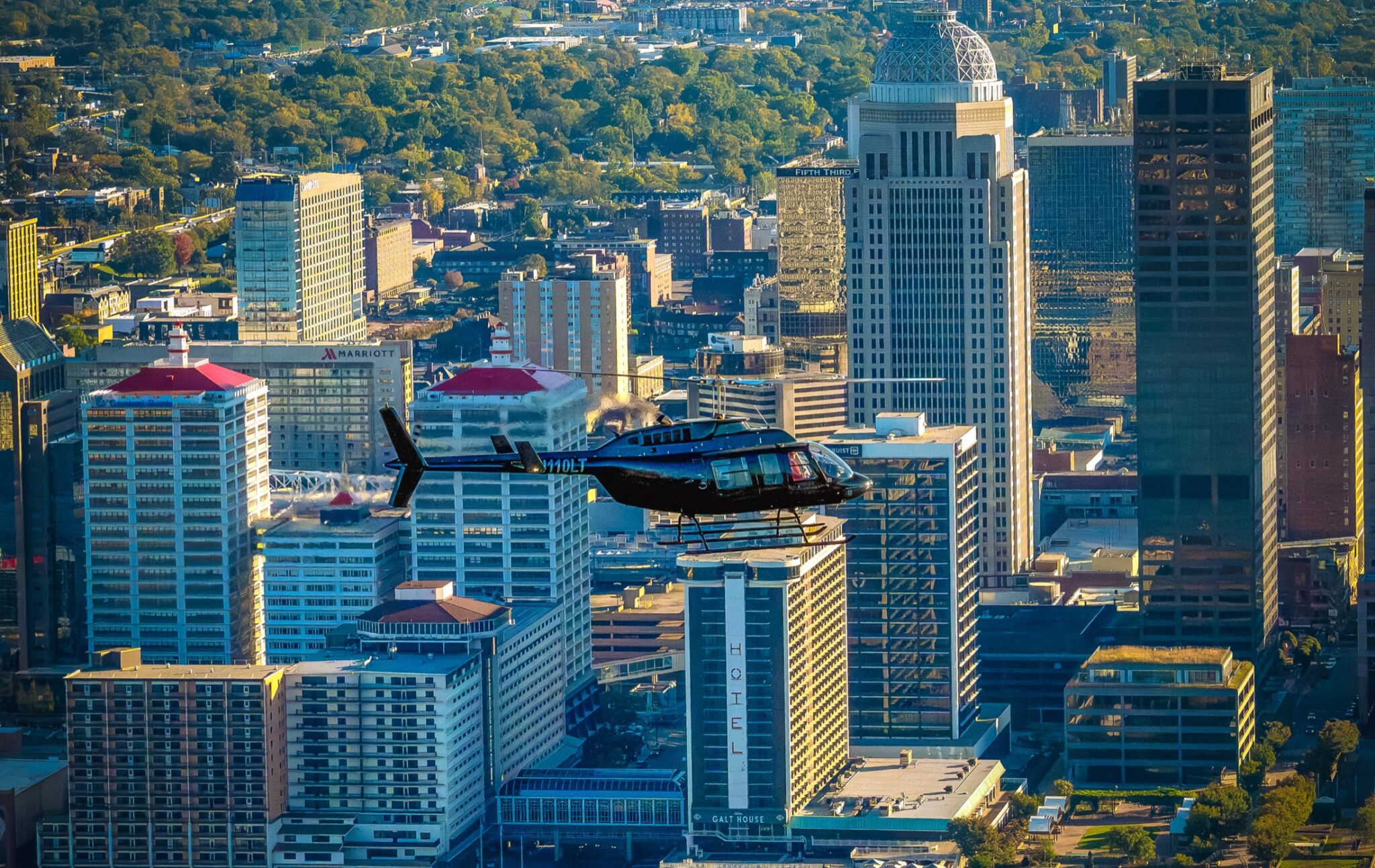
Skyline art, stadium events, and landmark imagery with the compression and reach only altitude provides.
Photographed from the air, not just above it
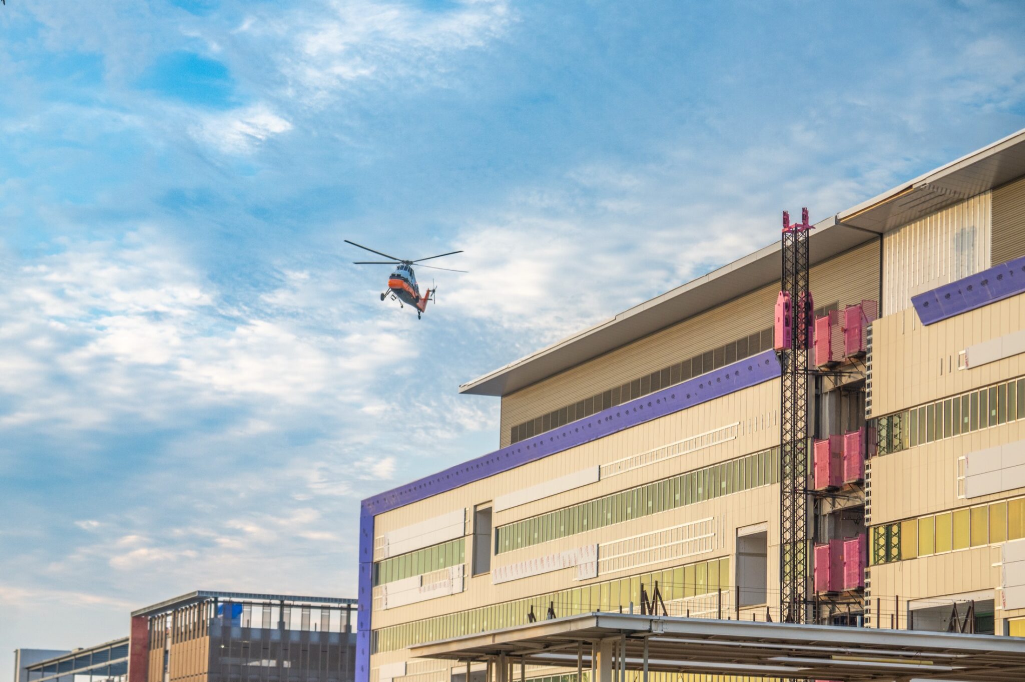
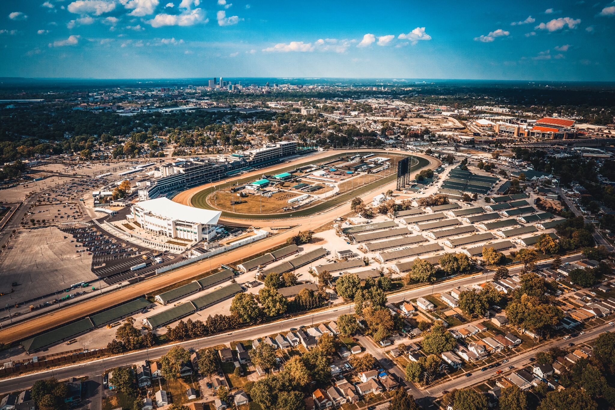
I shoot from the open door with stabilized full-frame systems, directing the pilot to put the light and the angle exactly where the image needs them. From the Louisville VA Medical Center to Churchill Downs, my helicopter work covers the projects and places that define the region.
From shot list to final frames
Define the targets
Sites, angles, and priorities become a flight plan and shot list before wheels leave the ground.
Time the light
I schedule around sun position and weather so every site gets its best look.
Fly and direct
Photographer and pilot work as a team, orbiting each target until the frame is right.
Deliver full-resolution
Edited, full-resolution imagery delivered fast for print, web, and large-format use.
Before wheels up
When is a helicopter better than a drone?
When you need real altitude, long reach, restricted-area access, or many sites in one session. For everything else, my drones are usually the answer, and I do both.
How many locations can one flight cover?
Often a dozen or more, depending on spacing. That is what makes helicopter work surprisingly cost-effective for portfolios and corridors.
What image quality should I expect?
Full-frame, stabilized, professional camera systems, the same gear behind my ground and product work, shooting at altitudes drones cannot reach.
Is this safe and legal everywhere?
Flights are operated by licensed commercial pilots with coordination for controlled airspace, and photography is planned around all applicable rules.
CHOOSING BETWEEN THEM
Helicopter or drone?
Both get flown here, so there is no reason to oversell one. The honest answer is that most jobs want a drone, and a specific set of jobs genuinely cannot be done with one.
A drone is right when
The subject is a single site, the altitude needed is a few hundred feet, and the budget matters. That covers most listings, jobsites, and facilities.
A helicopter is right when
You need real altitude, a whole skyline or district in one frame, airspace a drone cannot legally enter, or several sites in a single session.
Altitude is the dividing line
Drone work is capped at 400 feet above the ground. Above that, and for the compression a long lens gives from a distance, it has to be a helicopter.
Airspace is the other one
Dense downtown areas and the airspace around an airport are restrictive for drones. A crewed aircraft with coordination can work there.
Cost, plainly
A helicopter carries an hourly aircraft cost a drone does not. That is why it is worth being sure the shot actually needs one before booking it.
Not sure? Just ask
Describe the shot you have in mind and you will get a straight answer, including when the answer is that a drone will do it for less.
Book the view from a thousand feet.
Tell me the sites on your list and I will plan a flight that captures them all.
Connect With Me