
Listings that look like a million dollars.
Aerial photography and video that show the whole property: the land, the water, the neighborhood, and the reasons buyers fall in love before the showing.
Or call (502) 387-1142Or text (502) 387-1142First impressions happen from above now
Residential listings
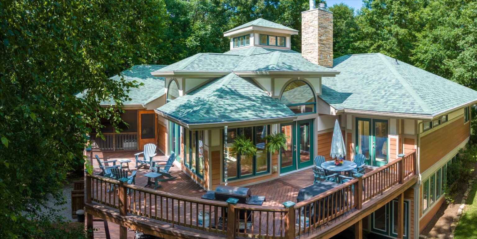
Homes, farms, and estates captured with the surrounding land and setting that ground photos simply cannot show.
Commercial properties
Size, access, parking, and location context that developers, brokers, and investors need to see at a glance.
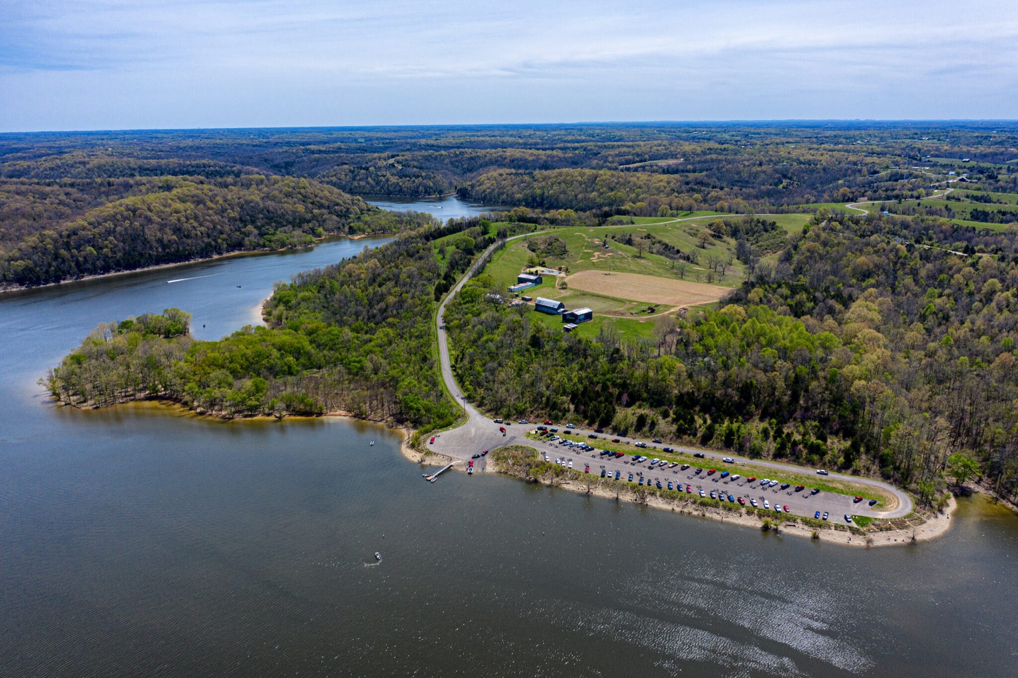
Waterfront and acreage
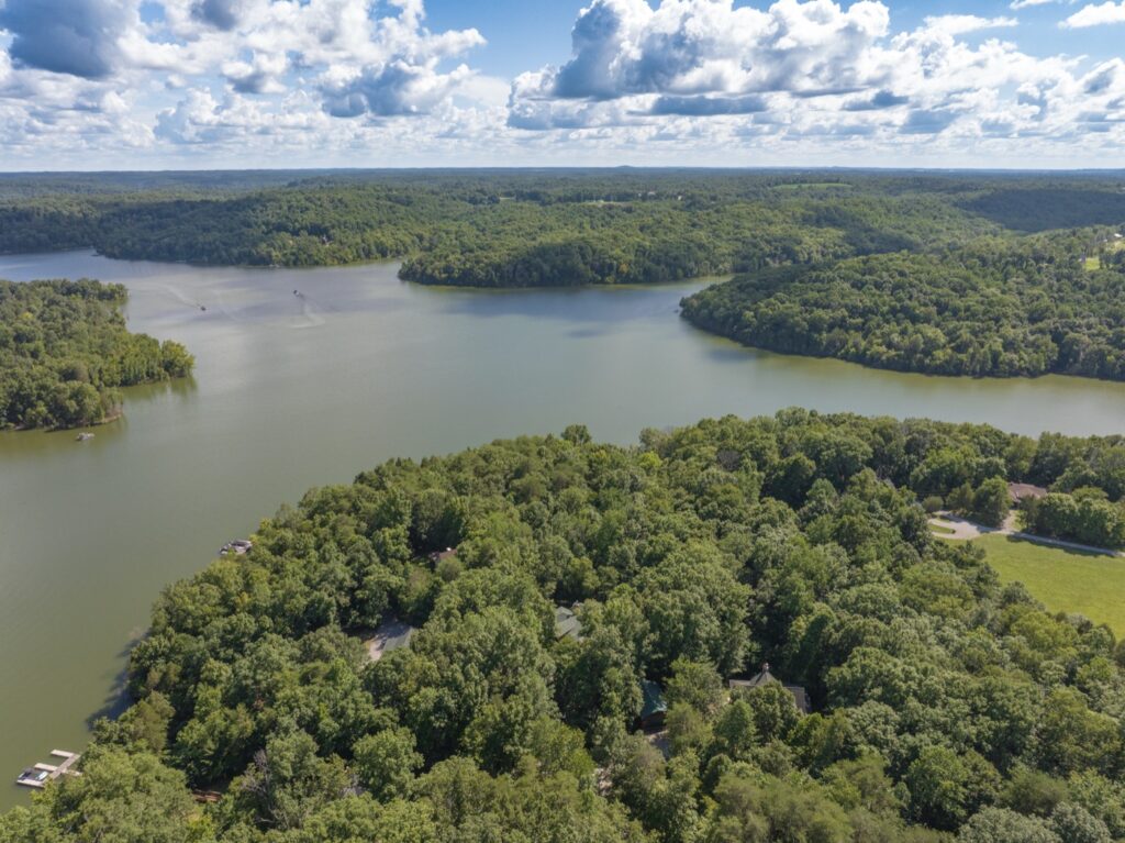
Lakefront, riverfront, and large parcels where the aerial view is the listing’s single best selling point.
Aerial video tours
Smooth cinematic flights around and over the property, cut into clips sized for MLS, web, and social.
Fast turnaround
Listings move fast. Edited, MLS-ready images are delivered quickly so your listing goes live on schedule.
FAA-licensed and insured
Every flight flown by an FAA-licensed drone pilot with full insurance, safely and legally, even near controlled airspace.
Not just a drone operator. A photographer with a drone.
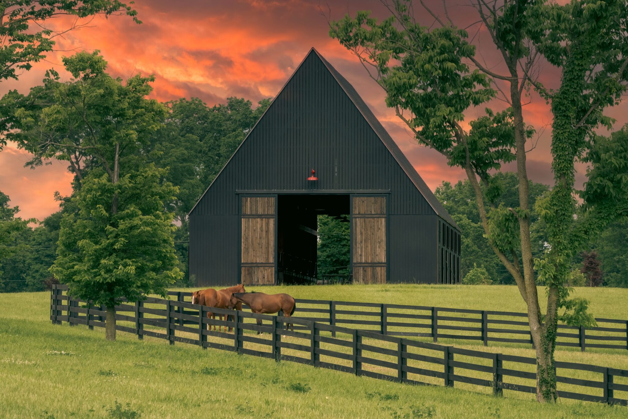
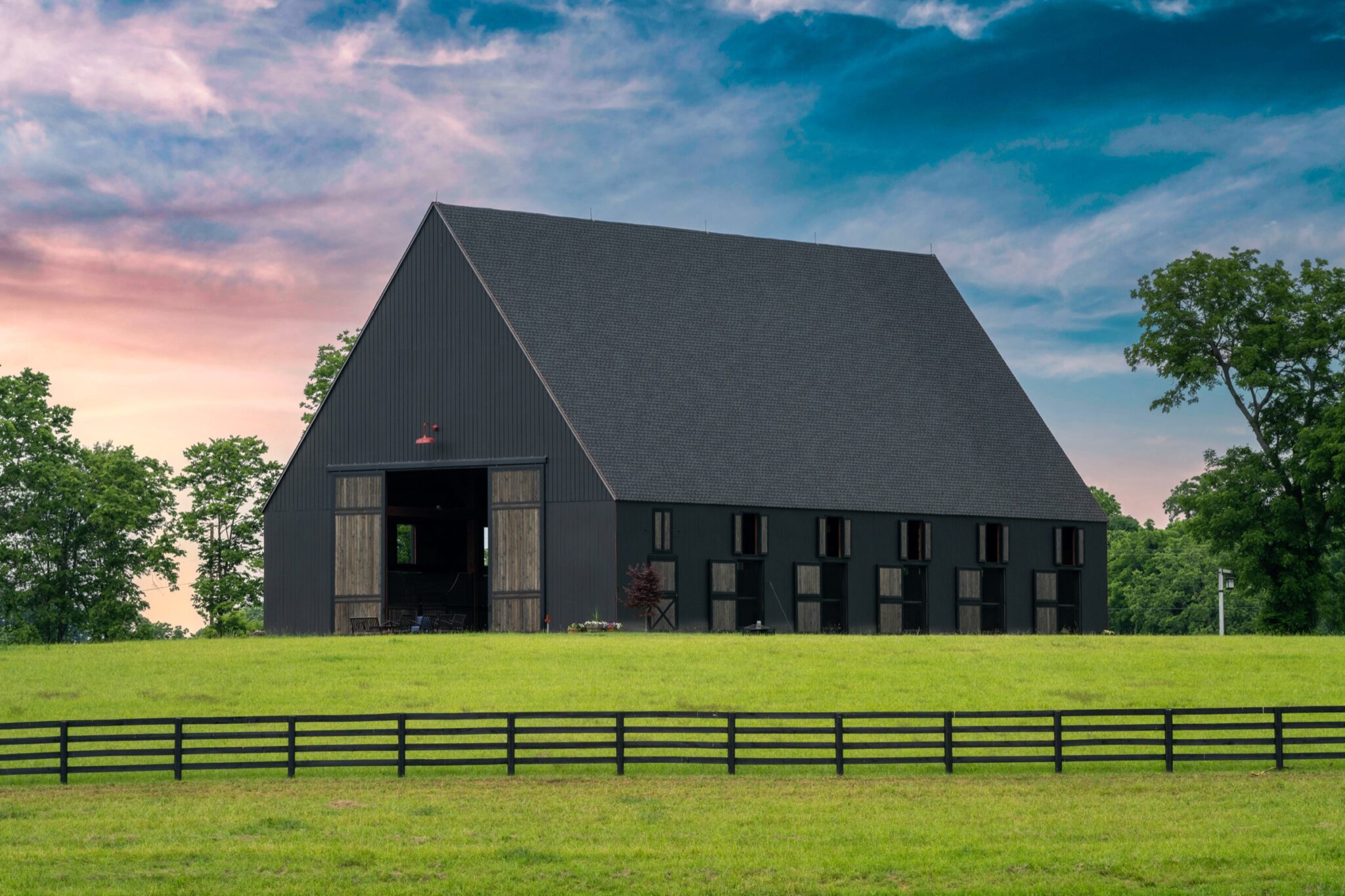
Twenty-plus years of photography come first: composition, light, and timing. The drone is just the tripod. From Lexington horse farms to Taylorsville Lake estates, I shoot properties the way luxury brands shoot products.

Your listing, airborne in four steps
Book the shoot
Pick a window that fits your listing timeline. I watch the weather and confirm the slot.
Plan the angles
I scout the property lines, sun position, and the features worth featuring.
Fly and shoot
Stills and video captured in one visit, including twilight options for premium listings.
Deliver MLS-ready
Edited, sized, and ready to upload, with full-resolution files for print and marketing.
Before the shoot
How fast can you shoot my listing?
Usually within days, weather permitting. Tell me your go-live date and I will work backward from it.
Can you fly anywhere in Louisville?
Most locations, yes. I am FAA-licensed and handle airspace authorizations, including many areas near controlled airspace that hobbyists cannot fly.
Photos, video, or both?
Both in one visit is the best value. Aerial stills carry the MLS gallery while a short video tour drives clicks on social and the listing page.
Do you shoot interiors too?
Yes. My ground real estate photography covers interiors and exteriors, so one booking can deliver the complete listing package.
RECENT LISTINGS FROM THE AIR
Lake houses, horse farms, and acreage
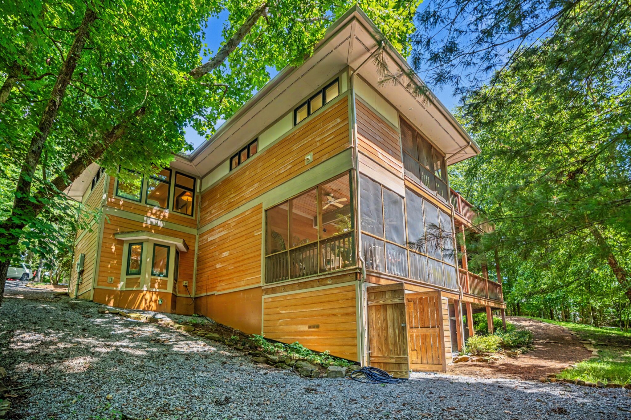
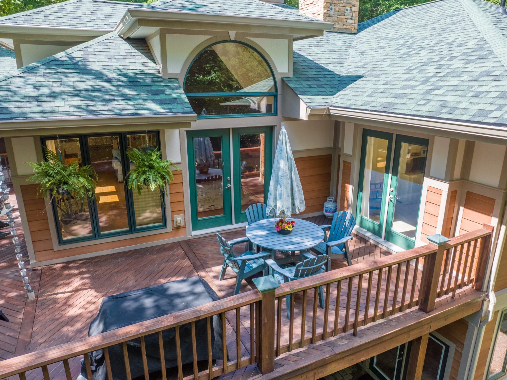
The properties that sell on setting are the ones aerial work pays for itself on. Water frontage, tree cover, approach, acreage, and the way a house sits on its land are all things a ground camera simply cannot show a buyer.


WHAT A LISTING SHOOT INCLUDES
Everything the listing needs, one visit
Agents do not want to coordinate three vendors around one closing date. A single visit covers the air and the ground and comes back sized for where the listing actually goes.
The property in context
Wide frames that show the lot lines, the approach, the water or the acreage, and what the neighbours actually are.
The house itself
Elevation angles that flatter the architecture instead of the flat, straight-on shot a phone gets from the driveway.
Twilight when it earns it
Some houses are transformed at dusk. When that is true, it is worth the second visit and it is worth saying so.
MLS-ready sizing
Delivered at the dimensions and file sizes the MLS will accept, so nothing gets rejected or crushed on upload.
A short video cut
A sixty second flight for the listing page and social, cut from the same session rather than booked separately.
Fast turnaround
Listings do not wait. Edited images come back quickly so the property can go live on schedule.
Give buyers the view from above.
Send the address and your timeline, and I will confirm a flight window with a straight quote.
Connect With Me