Mapping the New Louisville VA Medical Center: Two Years of Drone Orthomosaics
Monthly drone orthomosaic maps of the 40-acre Louisville VA Medical Center site, flown for Walsh Construction - watch two years of construction in five maps.

Louisville web design since 2000
Talk to Shaun directly
Call (502) 387-1142Get a quote★★★★★ 5.0 on Google · 23 reviewsLouisville, Kentucky · Mon to Fri, 8am to 6pm
AERIAL PROJECTS
Louisville from above. Construction progress, real estate, and commercial aerial work.
Aerial photography and drone video projects across Louisville, Kentucky and Southern Indiana: monthly construction progress documentation, orthomosaic mapping, commercial real estate, infrastructure and skyline work, flown under an FAA Part 107 licence by Shaun Wilson.
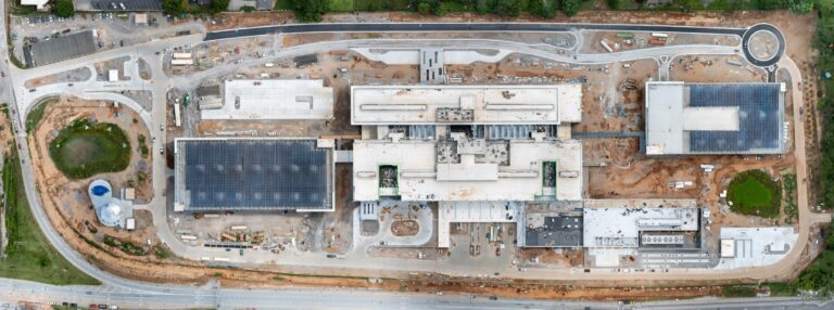
Monthly drone orthomosaic maps of the 40-acre Louisville VA Medical Center site, flown for Walsh Construction - watch two years of construction in five maps.
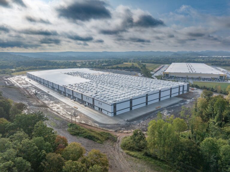
Photos are for working, video is for telling. A practical guide to choosing between construction progress stills and aerial video on a Kentucky project, and when one flight should capture both.
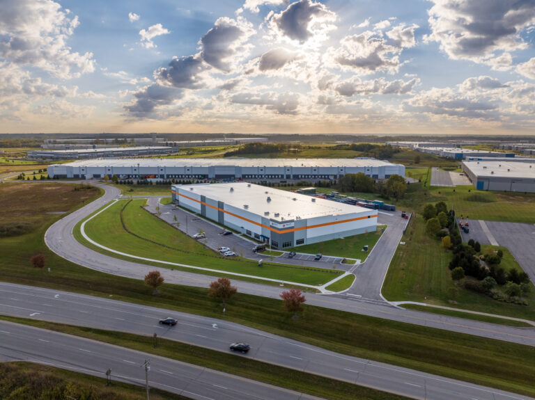
A Jeffersonville, Indiana commercial building shot from the air, the ground, and inside in a single day, so leasing, marketing, and the contractor all work from one consistent image library.
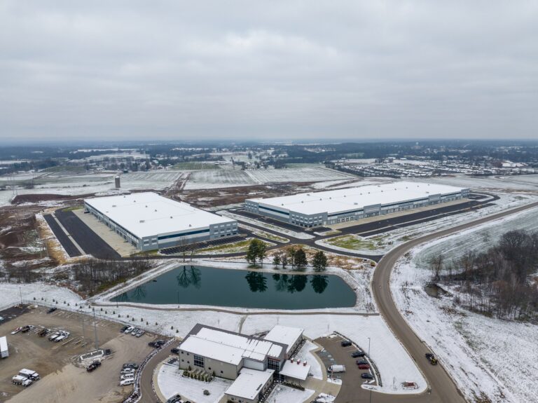
Monthly aerial progress photography is a window, not a date. How wind, cloud, and Kentucky seasons decide the schedule, and what happens when a month does not cooperate.
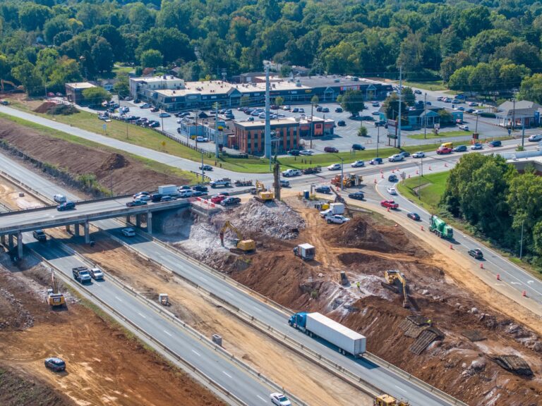
A highway interchange cannot be photographed from the ground. An aerial record of the I-264 and U.S. 42 improvement project in Louisville, and why road work makes the clearest case for flying.

A Louisville skyline aerial is easy to admire and hard to use well. When a city view does real work for a business, the four jobs it does best, and why downtown airspace means hiring a licensed pilot.
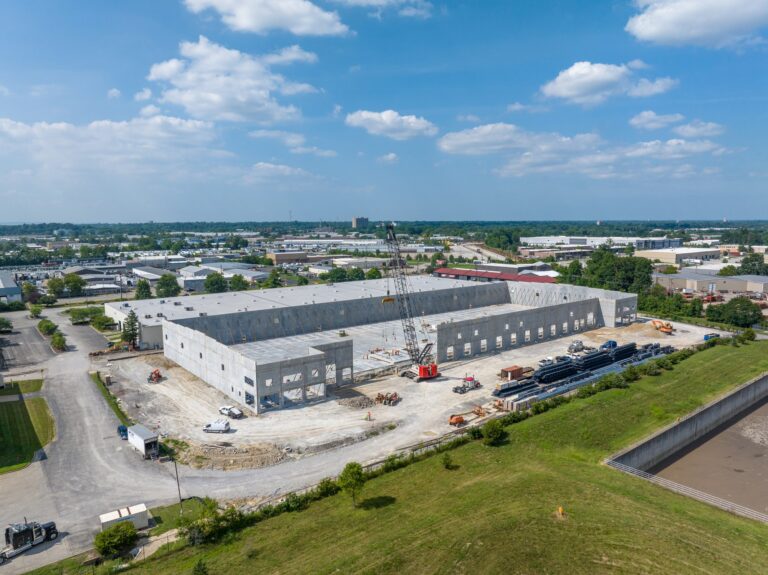
A single aerial photo shows a site. A monthly series shows what changed and how fast, which is the question that actually comes up. Why cadence and repeatable angles matter on a Kentucky build.
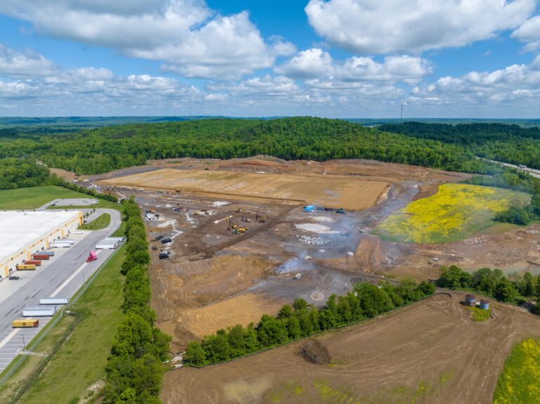
A Lexington jobsite is not an away game. How monthly aerial progress coverage across Lexington and Central Kentucky is scheduled, what controlled airspace means, and why drive time is not the cost.
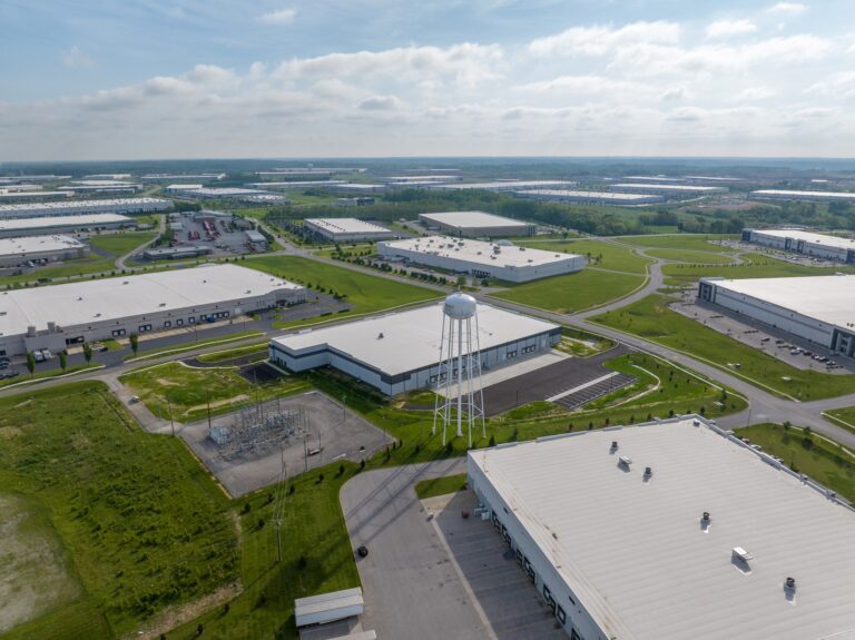
Full resolution stills, 4K video, dated file naming, and usage rights. Exactly what lands in your hands after an aerial construction progress shoot in Kentucky, and how a project team uses it.
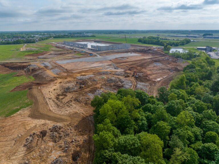
Southern Indiana jobsites sit under Louisville controlled airspace, so flights need FAA authorization first. What that means for your schedule, and the three questions to ask any aerial provider.
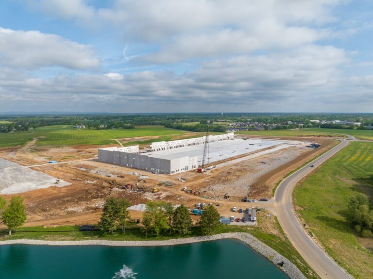
Progress video is ordered for marketing and spends its life doing other jobs. The six audiences that really open the file, and how that should change what you film on an Indiana or Kentucky site.
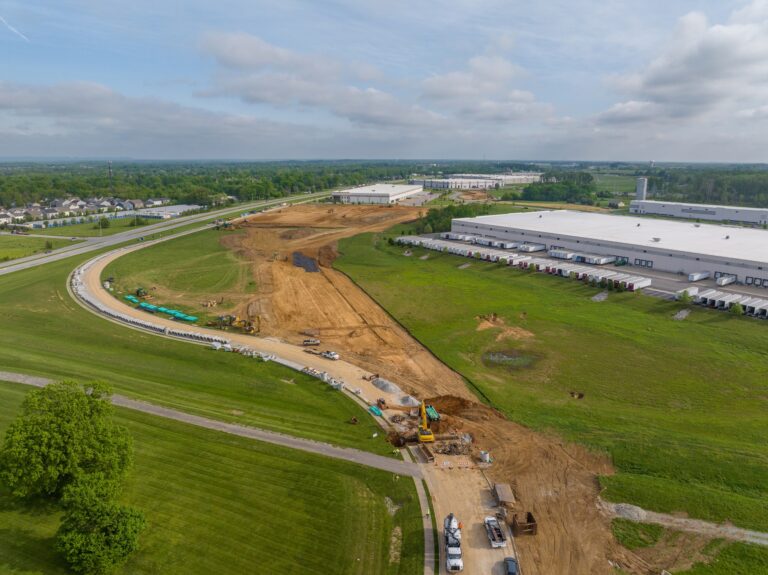
What actually happens when a licensed drone pilot documents an active jobsite: check in, site walk, pre-flight, the flight itself, and why your team spends almost no time on it.