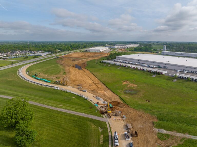
DRONE MAPPING CASE STUDY
Two years over the new Louisville VA Medical Center
Monthly drone orthomosaic maps of a 40-acre federal hospital site, flown for Walsh Construction from early structure to finished roofs, roads, and landscaping.
PROJECT
Louisville VA Medical Center
CLIENT
Walsh Construction
SITE
Roughly 40 acres
CADENCE
Monthly flights, 2024-2026
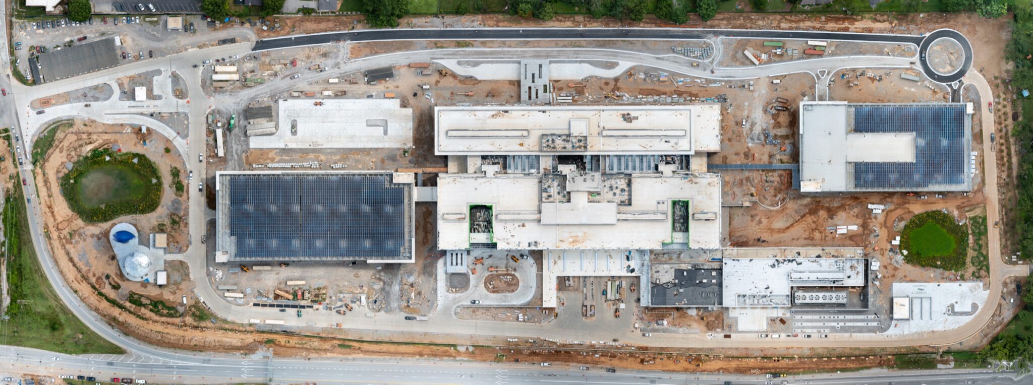
An orthomosaic is a single, measurable top-down map stitched from hundreds of overlapping drone photos. Every month for two years, I flew the new Louisville VA Medical Center site and delivered a fresh map to Walsh Construction - one image the whole team can zoom, measure, and mark up. Laydown areas, crane paths, utilities, paving, and progress all live in one picture instead of a hundred disconnected photos.
Below are five of the roughly two dozen monthly maps from this project. Watch a 40-acre patch of dirt become a hospital.
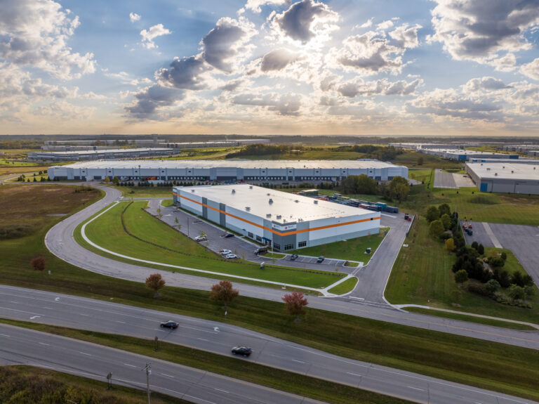
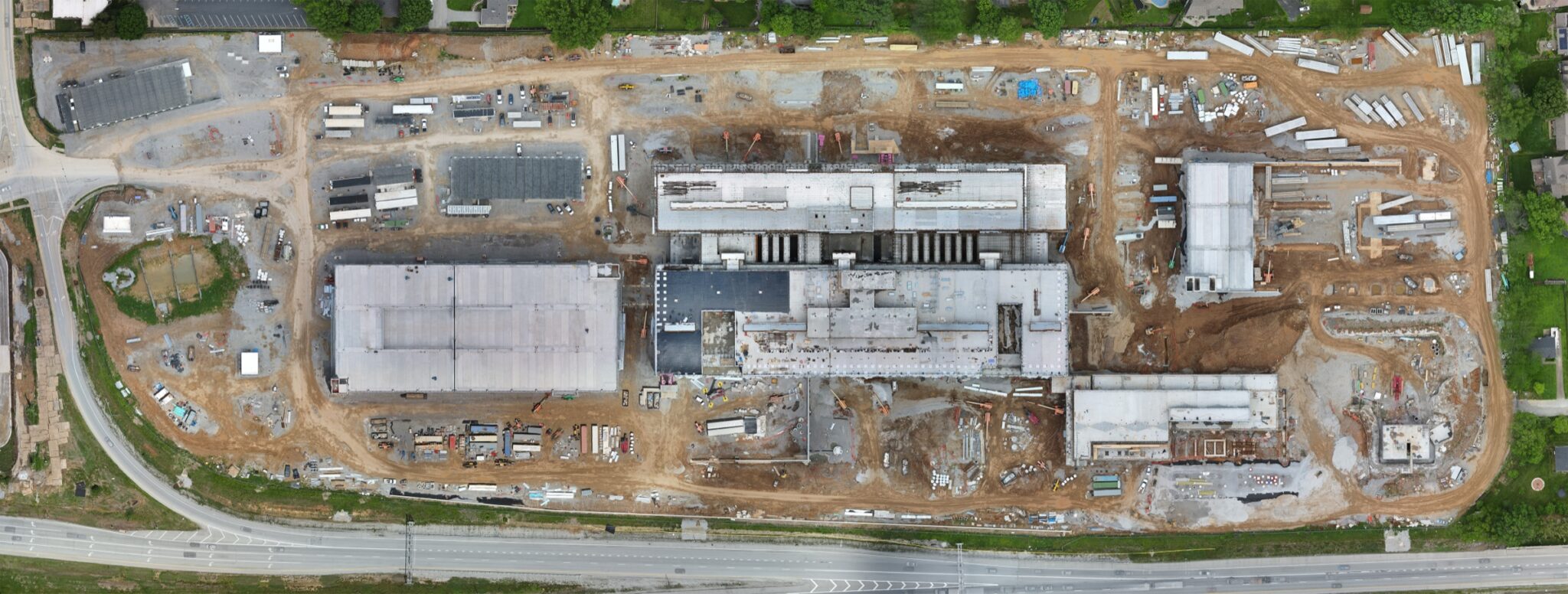
JUNE 2024 - STRUCTURE RISING
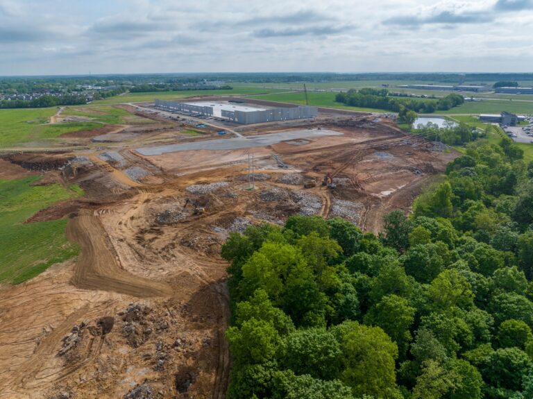
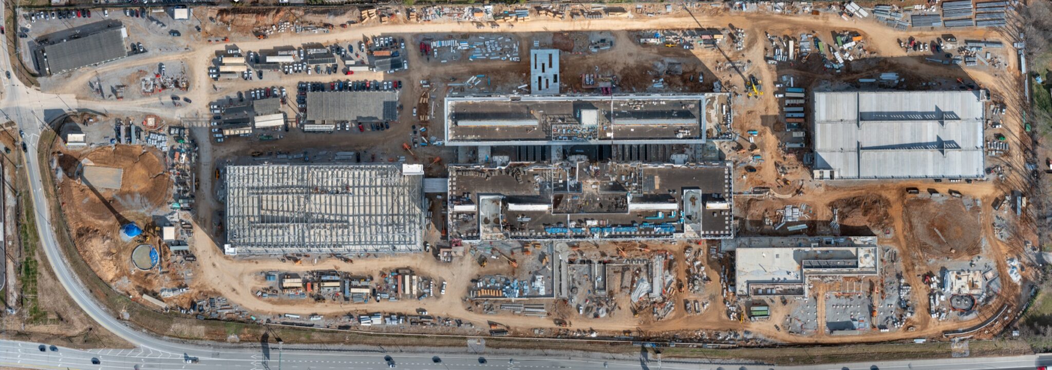
JANUARY 2025 - TOPPED OUT
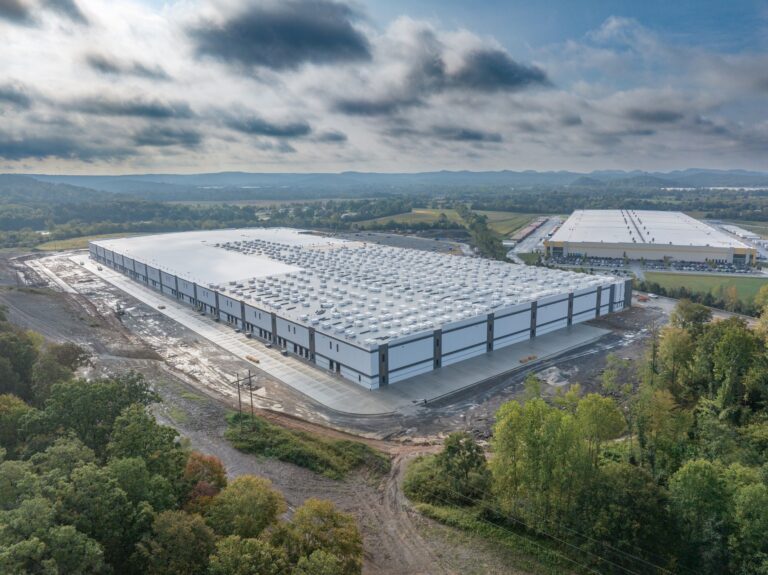
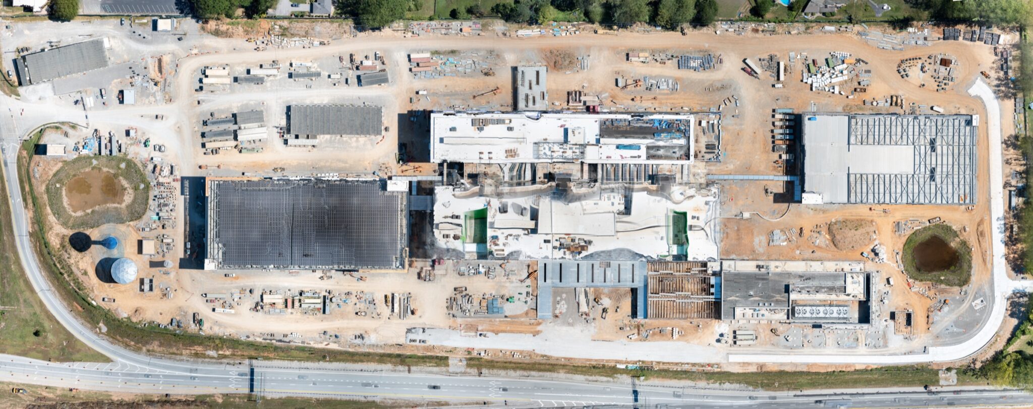
SEPTEMBER 2025 - ROOFS AND UTILITIES
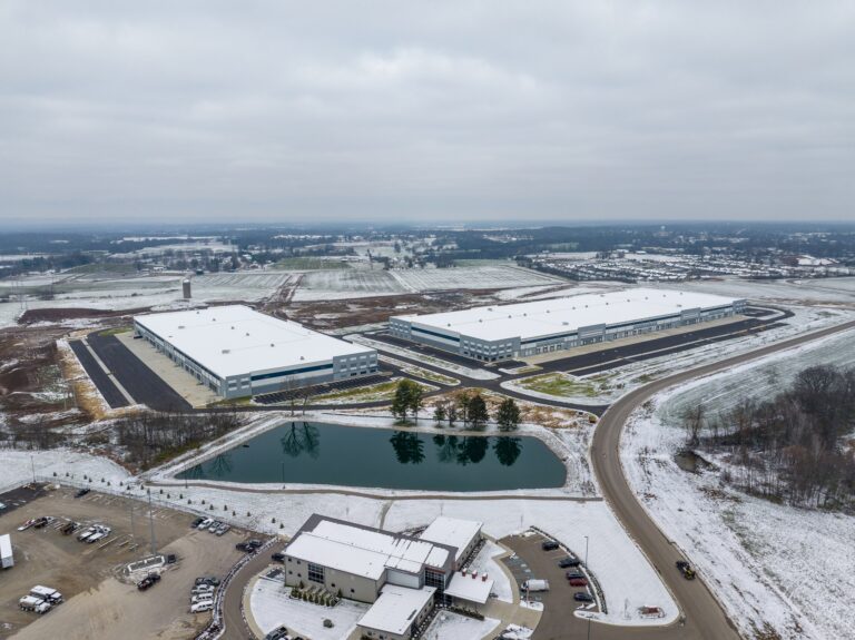
MARCH 2026 - PAVING AND FINISHES
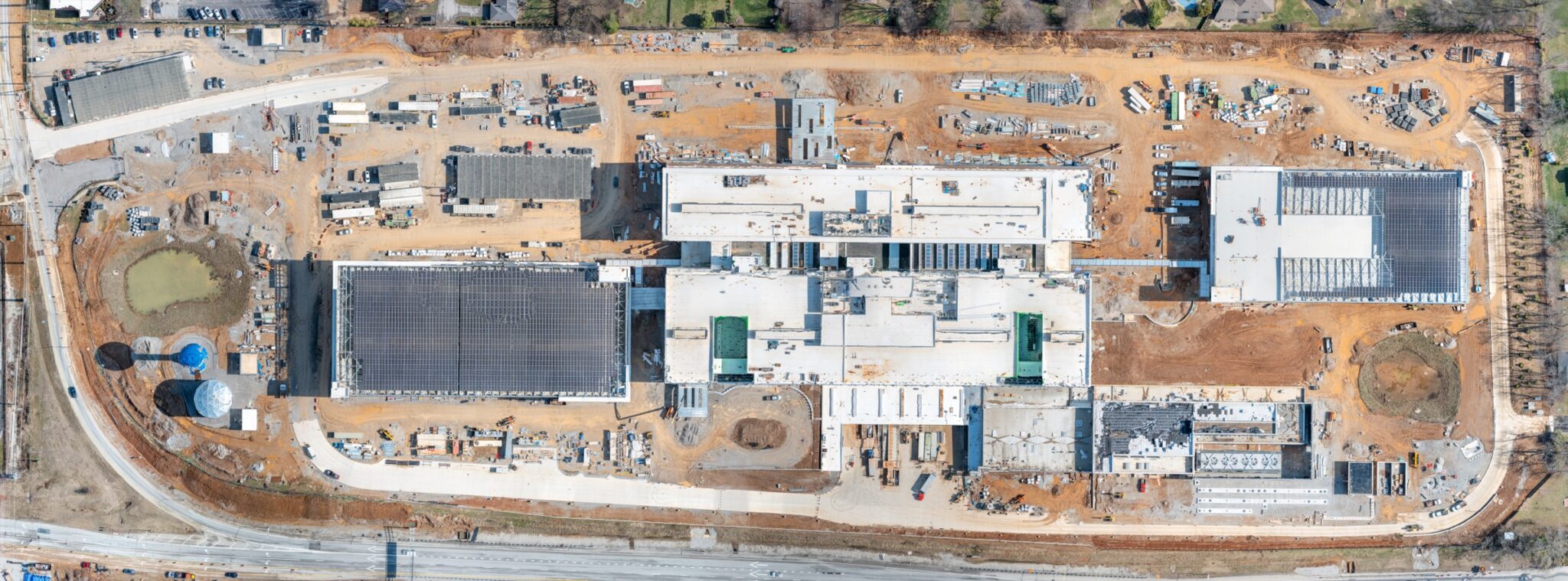
JULY 2026 - ROADS, LANDSCAPING, NEARLY THERE
WHY MONTHLY MAPPING
What a builder does with a monthly map
- Planning and logistics: laydown areas, crane positions, and access routes decided on a current picture, not last quarter’s.
- Progress documentation: a dated visual record of the entire site, month over month, for owners and stakeholders.
- Coordination: subs and project managers marking up the same image instead of describing locations over the phone.
- Measurement: distances and areas checked right on the map for quick planning questions.
March 2026: one image the whole team plans from.
My mapping deliverables are visual planning and documentation tools. They are not boundary or legal land surveys, which must be prepared by a Kentucky licensed professional land surveyor.
HAVE A SITE THAT NEEDS WATCHING?
Hold your whole site in one image.
Flown by me at Aerial Photography Louisville.